 ar
ar bg
bg hr
hr cs
cs da
da nl
nl fi
fi fr
fr de
de el
el hi
hi it
it ko
ko no
no pl
pl pt
pt ro
ro ru
ru es
es sv
sv tl
tl iw
iw id
id lv
lv lt
lt sr
sr sk
sk sl
sl uk
uk vi
vi et
et hu
hu th
th tr
tr fa
fa ms
ms hy
hy ka
ka ur
ur bn
bn mn
mn ta
ta kk
kk uz
uz ku
ku
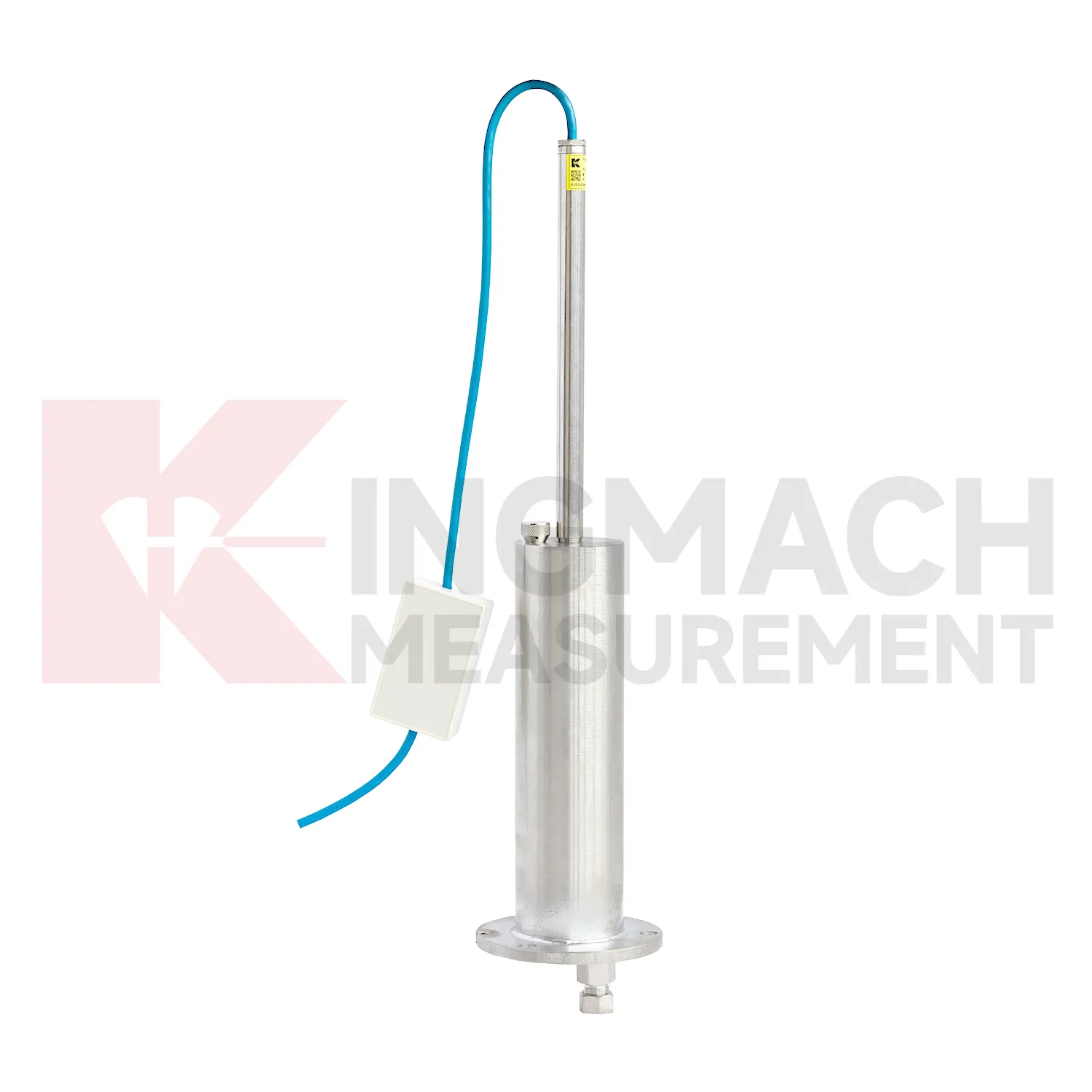
Inclinometer-based Hydrostatic Leveling System
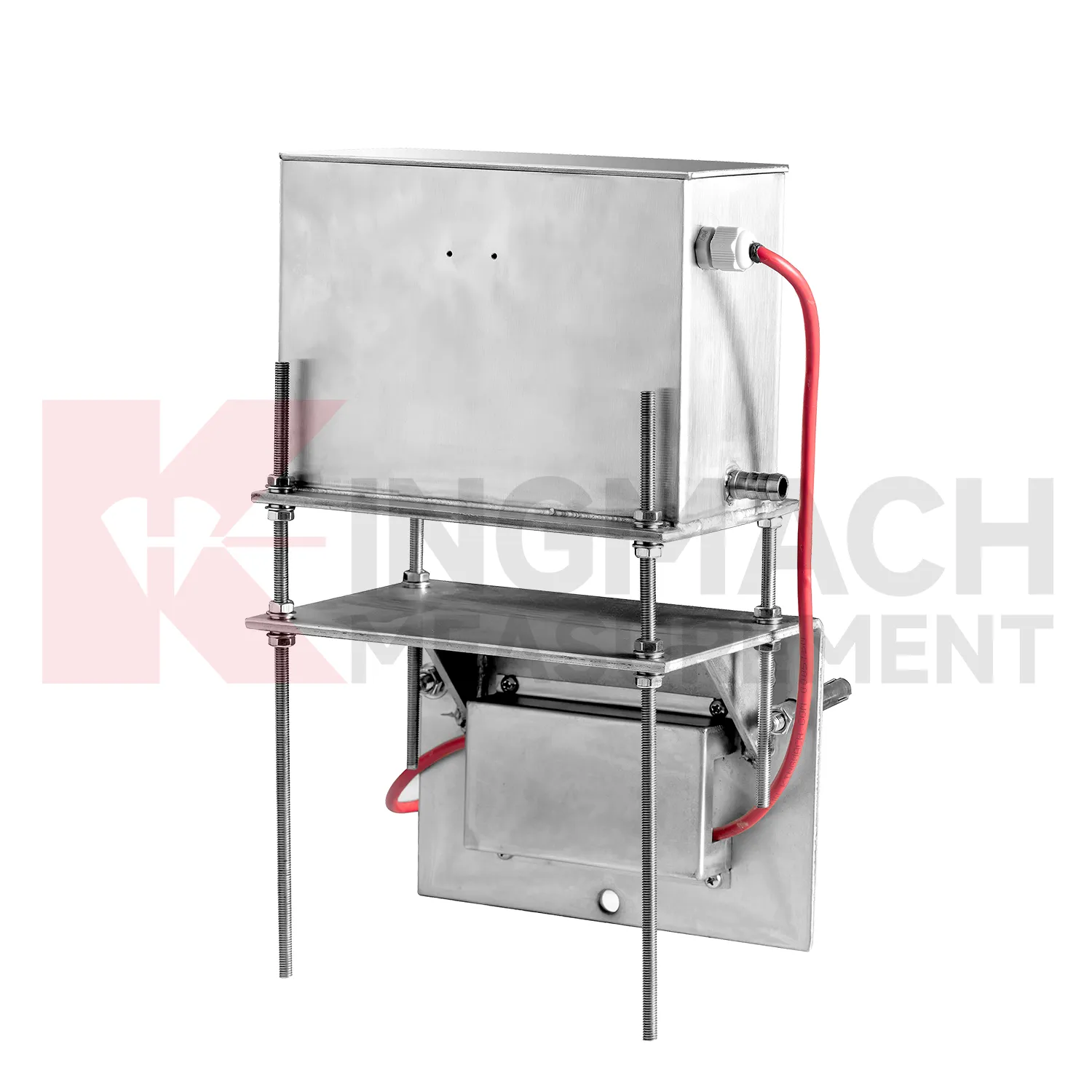
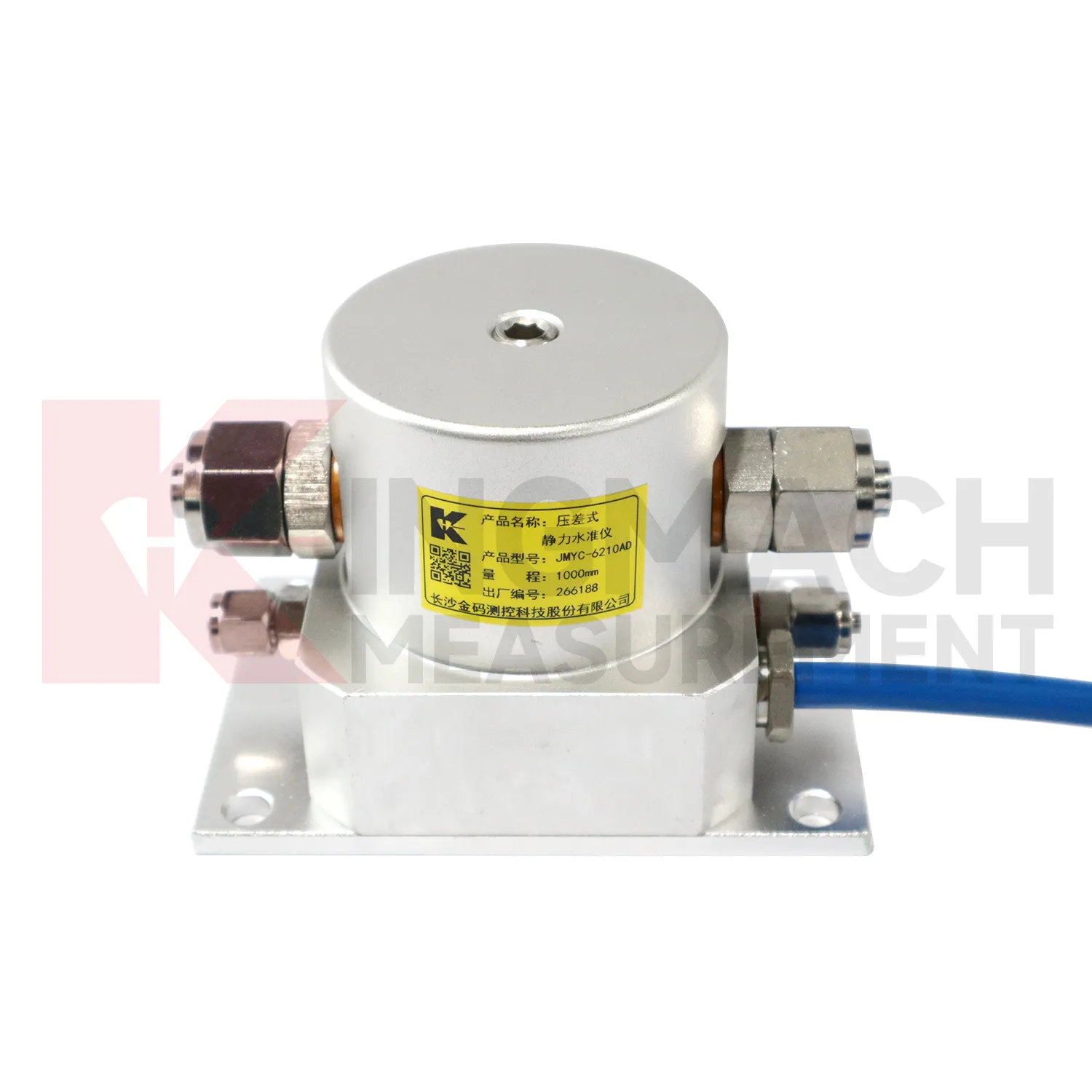
Selecting Kingmach Inclinometer-based Hydrostatic Leveling System begins with the scale and shape of expected movement. A single embedded point, a hydrostatic comparison line, a wide-range profile, and a magnetic ring borehole answer different questions. JMDL-47XXAT covers 100 mm to 400 mm embedded settlement. JMDL-62XXADT and JMQJ-62XXADT provide 0.01 mm hydrostatic resolution for smaller vertical changes. JMYC-62XXAD covers 500 mm to 4000 mm with 0.1 mm resolution and 0.2%FS accuracy for larger movement. JMCJ-1003/1005 provides plus or minus 1 mm depth reading for magnetic ring settlement and water level checks. Selection should consider whether the structure will remain accessible, whether groundwater is part of the risk, whether automatic collection is required, and whether the reference point can remain stable for the full observation period. A short-range high-resolution instrument is not automatically better if the site may move beyond its travel. A large-range system is not always best if the project needs very small early warnings.

Application of Inclinometer-based Hydrostatic Leveling System
In foundation pit projects, Inclinometer-based Hydrostatic Leveling System are used during staged excavation to track base uplift, nearby pavement settlement, groundwater response, and vertical movement around retaining systems. The timing of each value matters because deformation may change after dewatering, support installation, soil removal, rainfall, or backfilling. Kingmach JMDL-47XXAT can be embedded to follow base uplift or local settlement, while JMCJ-1003/1005 can read magnetic ring depth and groundwater level in boreholes. Hydrostatic instruments may be added where several elevations around the pit need comparison against a reference. The site team should record excavation depth, support level, water pumping condition, adjacent road or building observations, and first stable baseline beside the settlement curve. If movement grows quickly, the response should include checking the sensor and reference first, then comparing support force, wall displacement, groundwater, and visual inspection before deciding whether excavation can continue. This keeps settlement review tied to the actual construction sequence, which is essential because a pit may behave differently at each excavation depth and support stage. A clear record also helps distinguish base rebound from surrounding ground loss or reference disturbance. The review file should also include reference condition, recent site work, nearby sensor behavior, and inspection notes so later teams can interpret the curve clearly.
The future of Inclinometer-based Hydrostatic Leveling System
Remote infrastructure will shape the future of Inclinometer-based Hydrostatic Leveling System. Many settlement points sit along long railways, expressways, dams, embankments, slopes, and tunnel portals where routine manual reading is expensive and sometimes unsafe. Low-power acquisition, wireless gateways, solar power, and clear cabinet layouts can reduce unnecessary visits while keeping settlement trends visible. Kingmach hydrostatic sensors and settlement gauges that support remote data collection can fit this direction, especially when RS485 channels, power supply, and reference points are documented well. Remote monitoring should still include scheduled field checks, because tubes, probes, cables, and reference points can be affected by weather and construction. The best future setup will combine fewer emergency trips with better evidence for deciding when a site visit is truly needed. The practical goal is to keep settlement data understandable after the original installation crew has left, so owners can compare old and new readings without reconstructing the field history from memory. The same record should remain readable for designers, contractors, owners, and maintenance teams, because settlement monitoring often continues long after the first construction report is finished.
Care & Maintenance of Inclinometer-based Hydrostatic Leveling System
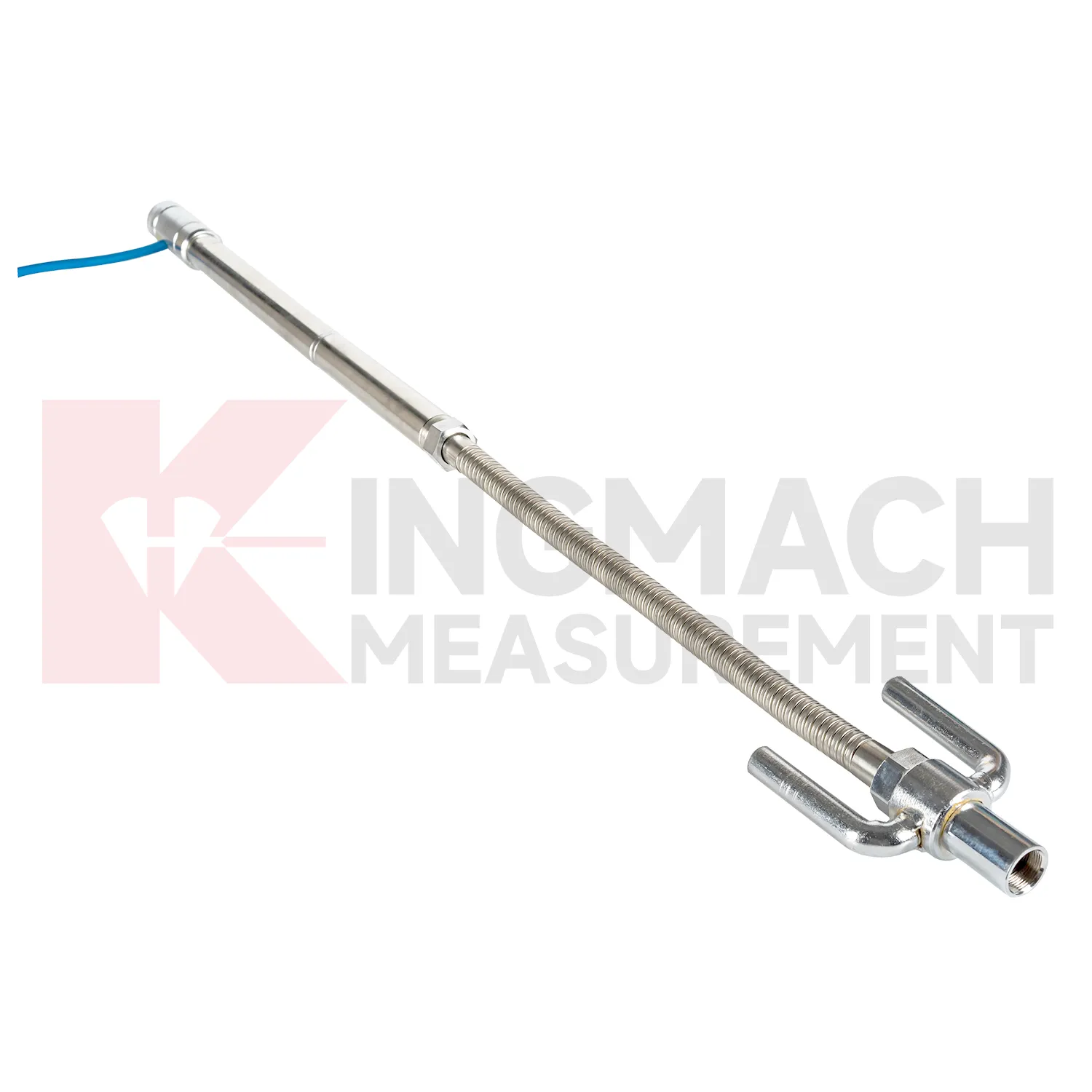
Embedded Inclinometer-based Hydrostatic Leveling System such as JMDL-47XXAT require protection during earthwork, paving, and later traffic. The settlement plate, measuring rod, metal flexible conduit, anchor head, extension rod, bottom anchor, and side-exit cable should be installed without being bent or crushed by compaction equipment. Record installation depth, gauge length, cable exit point, fill layer, protection cover, and first stable reading before the point is buried. During maintenance, inspect accessible cable sections, junction boxes, cabinet terminals, and any area where later excavation may have disturbed the line. If a curve changes after a filling stage or pavement operation, compare the timing with construction logs before judging the ground response. Buried parts are difficult to inspect after coverage, so photographs, as-built sketches, and cable route notes become part of the working instrument. Good embedded-point care is mostly quiet prevention done before damage becomes visible.
Kingmach Inclinometer-based Hydrostatic Leveling System
Inclinometer-based Hydrostatic Leveling System are not only construction instruments; they also support long-term asset management. A bridge, dam, subway, railway, building, or embankment can continue moving slowly after the main construction phase is complete. Kingmach settlement products can help owners compare early baseline readings with later operation-stage data. The important question is whether movement has stopped, slowed, restarted, or changed after water level, traffic load, rainfall, excavation, or repair work. A clean settlement record should include cumulative value, daily or monthly rate, reference condition, sensor status, and inspection notes. When the same point is reviewed for years, small changes become easier to interpret. Without that record, later teams may waste time rediscovering what the original installers already knew. Over time, this disciplined record helps owners separate normal consolidation from renewed settlement caused by water, load, excavation, or long-term material behavior. Over time, this disciplined record helps owners separate normal consolidation from renewed settlement caused by water, load, excavation, or long-term material behavior.
FAQ
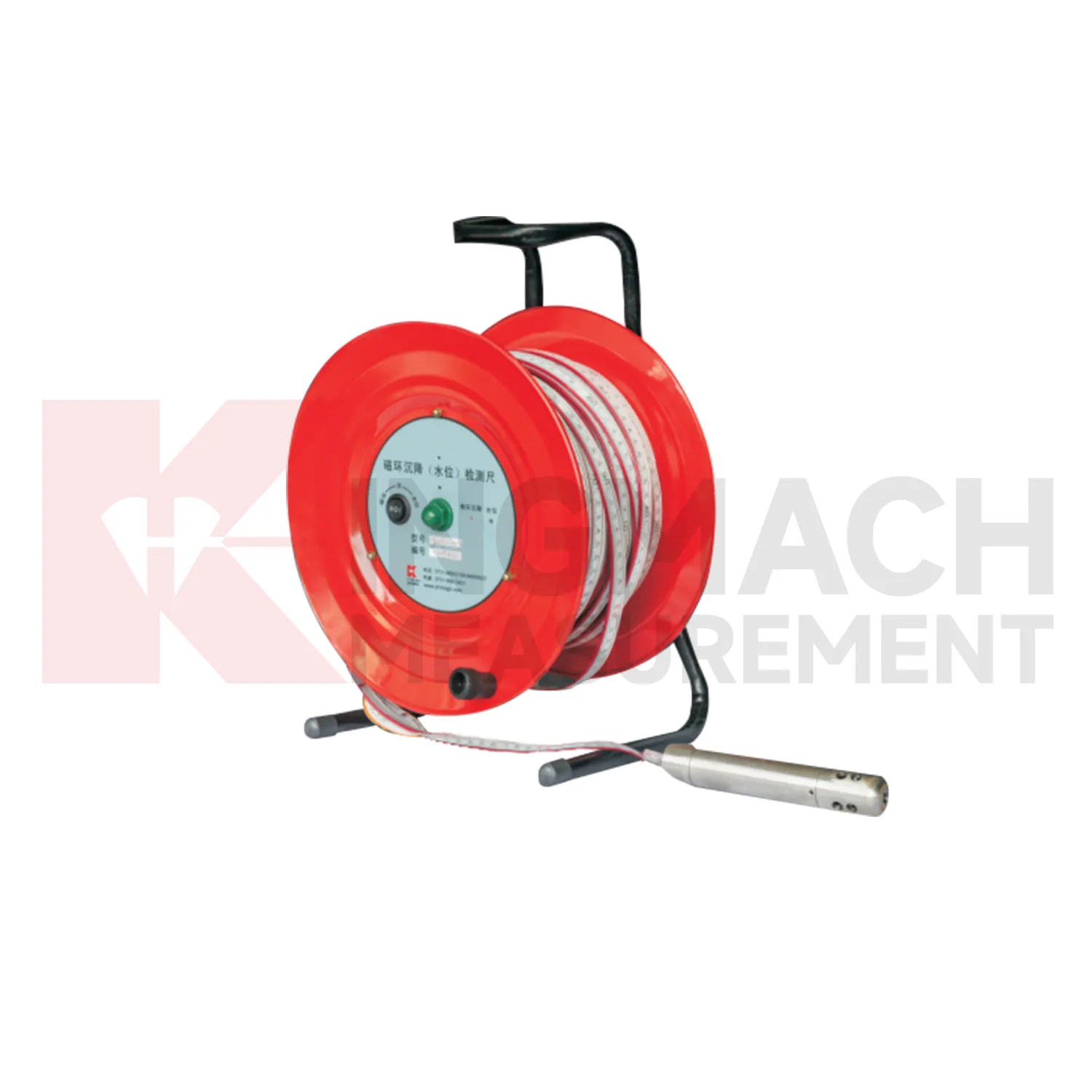
Q: What is JMCJ-1003/1005 used for?
A: It is used to measure layered underground settlement and groundwater level in foundations, subgrades, foundation pits, embankments, and underground structures.
Q: How does magnetic ring settlement reading work?
A: Magnetic rings are placed underground; when the probe senses a ring, audible and visual alerts help the operator read depth from the steel tape at the borehole.
Q: How is water level detected?
A: The water level component works by water conductivity and alerts when the probe contacts water.
Q: What accuracy is listed?
A: The listed measurement accuracy is plus or minus 1 mm.
Q: What field records are needed?
A: Keep borehole number, magnetic ring depth, previous reading, current reading, groundwater level, and operator notes together.
Reviews
Joshua Clark
We ordered a full monitoring solution including sensors and data loggers. Everything works seamlessly together. Great supplier!
Matthew Garcia
Instrumentation cables are durable and perform well even in harsh environments. Will definitely order again.
Latest Inquiries
To protect the privacy of our buyers, only public service email domains like Gmail, Yahoo, and MSN will be displayed. Additionally, only a limited portion of the inquiry content will be shown.
Ava***@gmail.comAustralia
Hi, I am looking for reliable tiltmeters and accelerometers for structural health monitoring. Please...
Amelia***@gmail.comSingapore
Hello, I am looking for visualization software for monitoring system data analysis. Please let me kn...