
 EN
EN
 ar
ar bg
bg hr
hr cs
cs da
da nl
nl fi
fi fr
fr de
de el
el hi
hi it
it ko
ko no
no pl
pl pt
pt ro
ro ru
ru es
es sv
sv tl
tl iw
iw id
id lv
lv lt
lt sr
sr sk
sk sl
sl uk
uk vi
vi et
et hu
hu th
th tr
tr fa
fa ms
ms hy
hy ka
ka ur
ur bn
bn mn
mn ta
ta kk
kk uz
uz ku
ku
Tilt Sensor
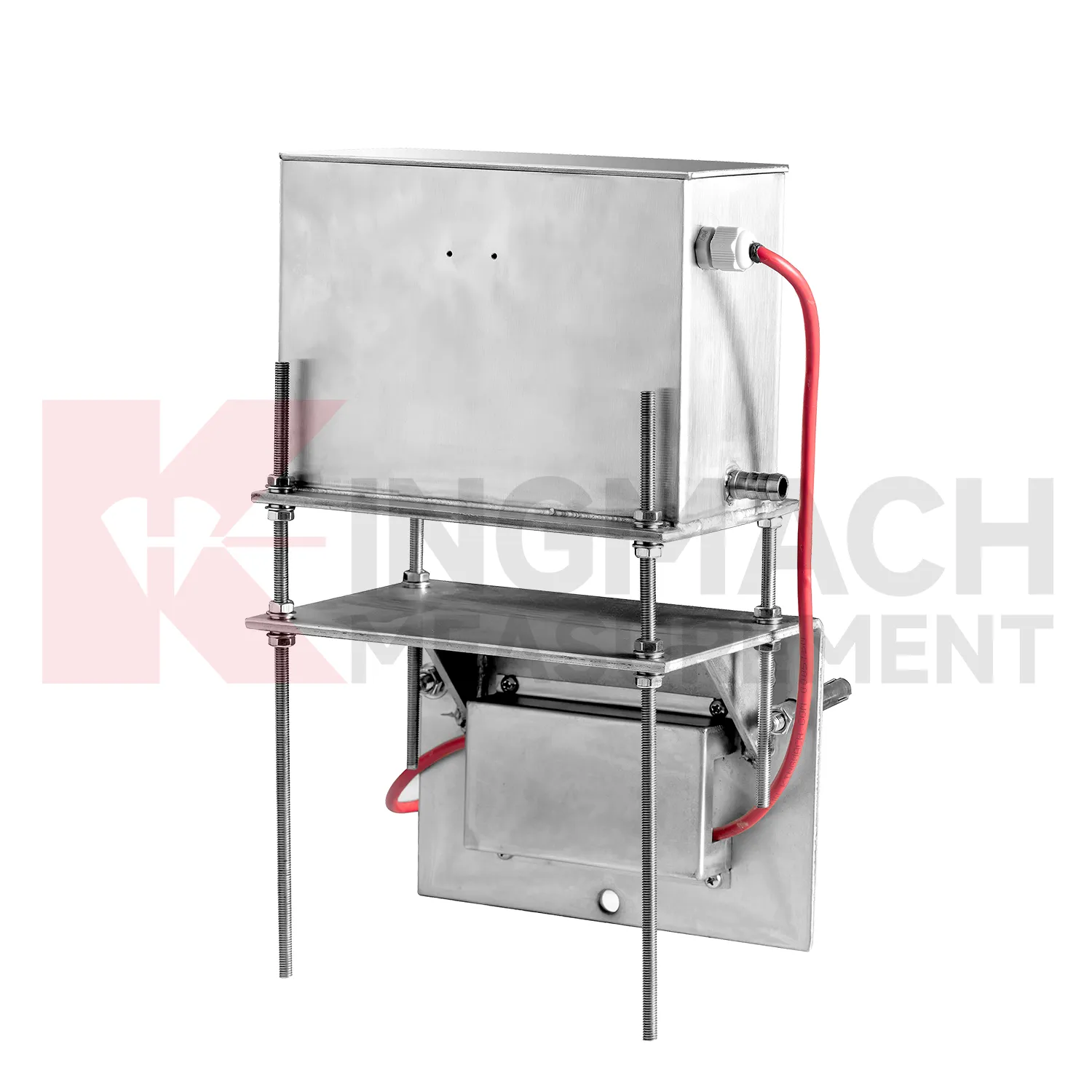
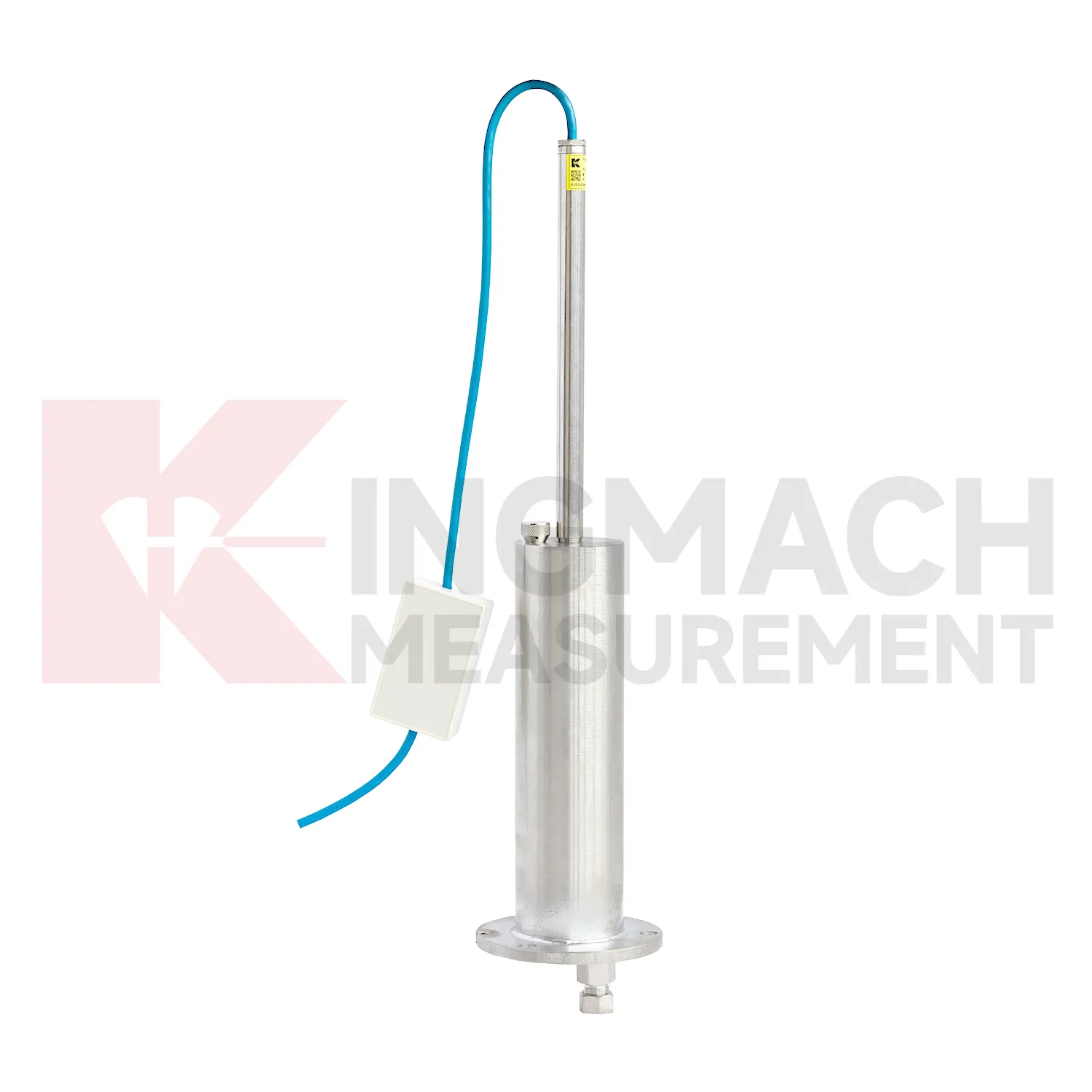
Kingmach Tilt Sensor also cover the JMQJ-62XXADT micro range hydrostatic level sensor, a compact instrument for small vertical deformation where fine reading stability matters more than large travel. The product page lists 50 mm and 100 mm ranges, 0.01 mm resolution, 0.5%FS accuracy, RS485 digital signal, DC 9V to 24V power, power consumption below 0.4W, IP68 protection, about 4.5 kg weight, temperature drift of plus or minus 0.001 mm per degree Celsius, and annual stability of plus or minus 0.1%FS. Typical sites include tunnels, subgrades, dams, bridges, slopes, and building foundations. Because the measuring span is small, installation quality has a strong effect on the usefulness of the readings. The installer should keep the mounting surface firm, shield the cable gland from standing water, protect the pipe connection, and label each sensor before cabinet wiring. Acceptance should include zero confirmation, response comparison between nearby locations, enclosure inspection, and a saved baseline table. For wet galleries, buried sections, or tunnel invert areas, the IP68 enclosure and low power demand help the instrument remain practical when access is limited. This model fits monitoring programs where gradual millimeter-scale movement must be recorded through long wet or buried service conditions.
Application of Tilt Sensor
In bridge deflection and pier foundation monitoring, Tilt Sensor help engineers follow vertical behavior that may change with traffic, temperature, bearing response, scour, or foundation compression. Kingmach JMQJ-62XXADT micro range hydrostatic level sensors provide 50 mm and 100 mm ranges, 0.01 mm resolution, RS485 output, and IP68 protection for small movements near decks, piers, or abutments. JMDL-62XXADT hydrostatic sensors can connect several measuring points through tubes, allowing a bridge team to compare related locations against a common reference instead of reading each point alone. A practical layout may place sensors near pier caps, bearing seats, approach slabs, or foundation observation positions, depending on the risk being tracked. The daily review should not look at the settlement curve by itself. Traffic loading, temperature swing, inspection findings, bearing condition, river level, and nearby structural instruments give the curve meaning. If a pier point drifts while the deck and approach slab stay stable, the cause is different from a whole-span temperature response. Clear naming, stable reference control, and consistent reading intervals turn small vertical changes into usable maintenance evidence.
The future of Tilt Sensor
Future Tilt Sensor will use smarter edge checking before data reaches the main platform. A sudden settlement jump may come from real ground movement, but it may also come from a disturbed tube, loose cable, air pocket, dewatering activity, cabinet work, or reference point change. Acquisition units can compare settlement rate, water level, rainfall, temperature, and nearby channels before marking a value as reliable. Kingmach products with RS485 output and automated acquisition compatibility already provide a basis for this kind of review. For remote railway subgrades, dams, tunnels, and slopes, early filtering can reduce unnecessary field visits while still flagging readings that need inspection. The aim is not to hide abnormal movement, but to separate data-chain faults from structural behavior faster. The practical goal is to keep settlement data understandable after the original installation crew has left, so owners can compare old and new readings without reconstructing the field history from memory. The same record should remain readable for designers, contractors, owners, and maintenance teams, because settlement monitoring often continues long after the first construction report is finished.
Care & Maintenance of Tilt Sensor
Remote acquisition for Tilt Sensor needs commissioning checks across the whole data chain. Verify RS485 wiring, bus address, power supply, channel name, units, reference point, and platform display before routine collection begins. For Kingmach hydrostatic sensors and automated settlement systems, move through each channel and confirm that the displayed point matches the physical location. Label cabinets, cables, tubes, and sensor numbers clearly. During operation, data gaps should be compared with power outages, communication faults, storms, cabinet work, or platform changes. If a sensor is replaced, record the old serial number, new serial number, old baseline, new baseline, and reason for replacement. Remote data is only trustworthy when the physical point and digital channel stay aligned. The record should include who inspected the point, what changed on site, and whether nearby instruments showed the same trend, so the maintenance team can separate sensor trouble from real settlement. The record should include who inspected the point, what changed on site, and whether nearby instruments showed the same trend, so the maintenance team can separate sensor trouble from real settlement.
Kingmach Tilt Sensor
For dams and water-related structures, Tilt Sensor must be read together with hydraulic conditions. Dam settlement, bridge deflection near water, dyke compression, and foundation deformation may respond to reservoir level, seepage, rainfall, temperature, and seasonal operation. Kingmach JMQJ-62XXADT and JMDL-62XXADT hydrostatic sensors can support multi-point vertical deformation monitoring, while JMCJ-1003/1005 can add groundwater level and layered settlement information. The field record should identify reference point, tube layout, cabinet position, water level, and inspection date. A reading after heavy rain has a different meaning from the same reading during a dry operating period. Settlement data becomes stronger when it is tied to the water story around the structure. The practical aim is a traceable vertical movement history that can support construction control, maintenance planning, and risk review without rewriting the site story. The practical aim is a traceable vertical movement history that can support construction control, maintenance planning, and risk review without rewriting the site story.
FAQ
Q: What are Tilt Sensor used for?
A: They measure vertical deformation such as foundation settlement, subgrade settlement, embankment heave, tunnel bottom uplift, dam settlement, bridge deflection, and building settlement.
Q: Which Kingmach models are related to this group?
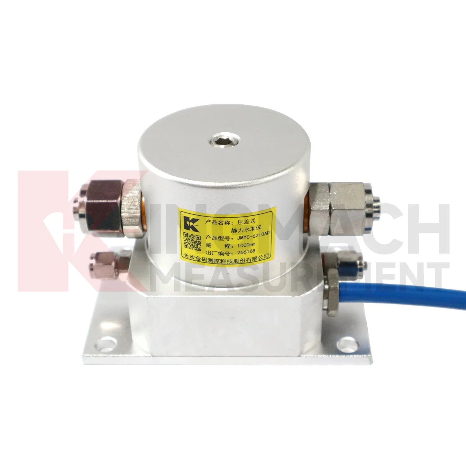
A: Common models include JMDL-47XXAT, JMDL-62XXAT/ADT, JMQJ-62XXADT, JMYC-62XXAD, and JMCJ-1003/1005.
Q: What is the difference between single-point and hydrostatic monitoring?
A: Single-point gauges measure settlement at a specific embedded point, while hydrostatic systems compare several points against a reference level through connected liquid paths.
Q: Can the readings be collected remotely?
A: Yes. Several Kingmach hydrostatic and settlement instruments support RS485 output or automatic acquisition systems for remote collection.
Q: Why is the reference point important?
A: Settlement is often calculated relative to a reference. If the reference changes or is poorly documented, the whole settlement curve can become misleading.
Reviews
Matthew Garcia
Instrumentation cables are durable and perform well even in harsh environments. Will definitely order again.
Daniel Brown
Excellent environmental monitoring sensors. The data is consistent, and the system integrates smoothly with our existing setup.
Latest Inquiries
To protect the privacy of our buyers, only public service email domains like Gmail, Yahoo, and MSN will be displayed. Additionally, only a limited portion of the inquiry content will be shown.
Olivia***@gmail.comUnited States
Hello, we are currently sourcing high-precision strain gauges and load cells for a bridge monitoring...
Harper***@gmail.comIndia
Dear Sir, we are planning to procure a complete monitoring system including strain gauges, tiltmeter...