
 EN
EN
 ar
ar bg
bg hr
hr cs
cs da
da nl
nl fi
fi fr
fr de
de el
el hi
hi it
it ko
ko no
no pl
pl pt
pt ro
ro ru
ru es
es sv
sv tl
tl iw
iw id
id lv
lv lt
lt sr
sr sk
sk sl
sl uk
uk vi
vi et
et hu
hu th
th tr
tr fa
fa ms
ms hy
hy ka
ka ur
ur bn
bn mn
mn ta
ta kk
kk uz
uz ku
ku
hydrostatic level sensors
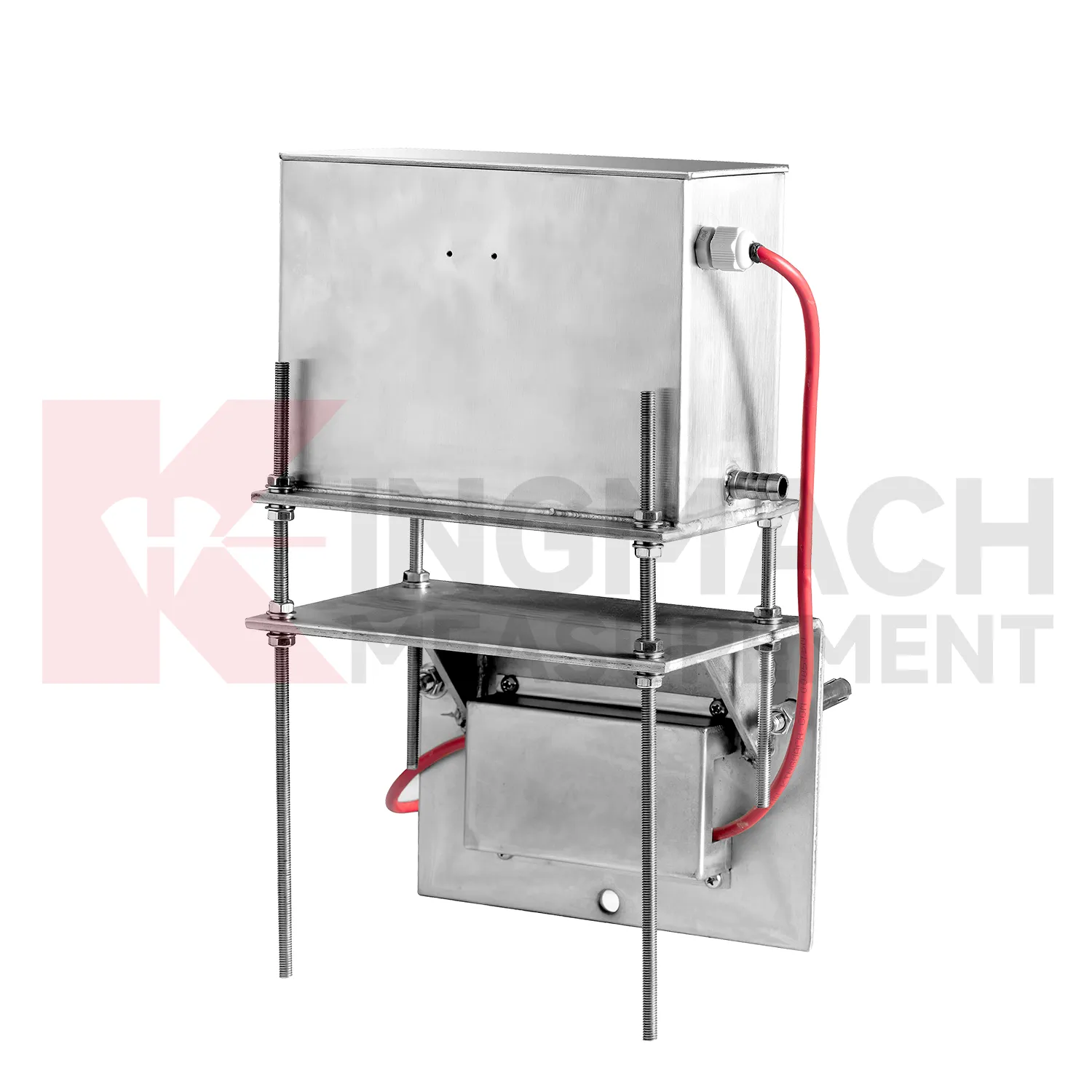
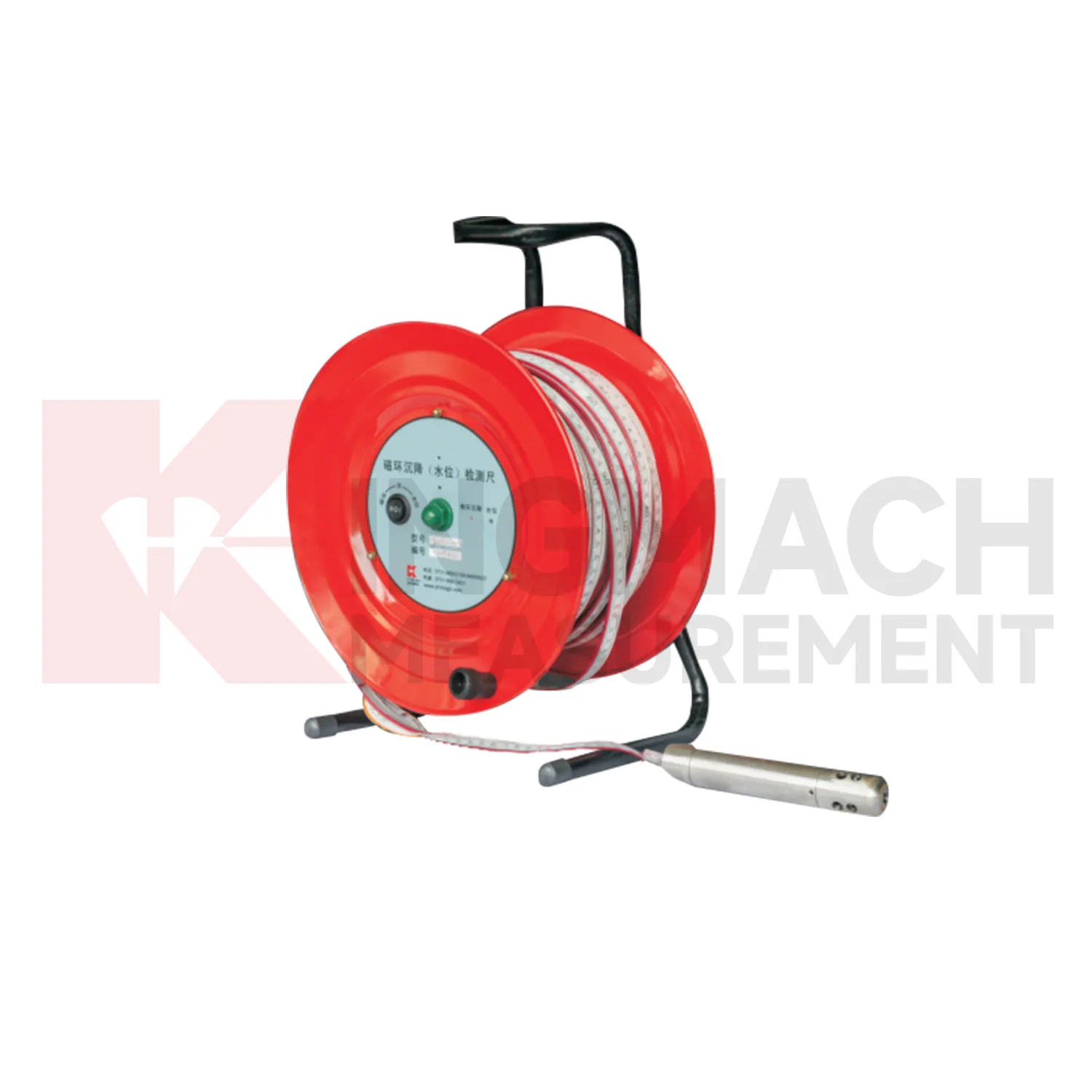
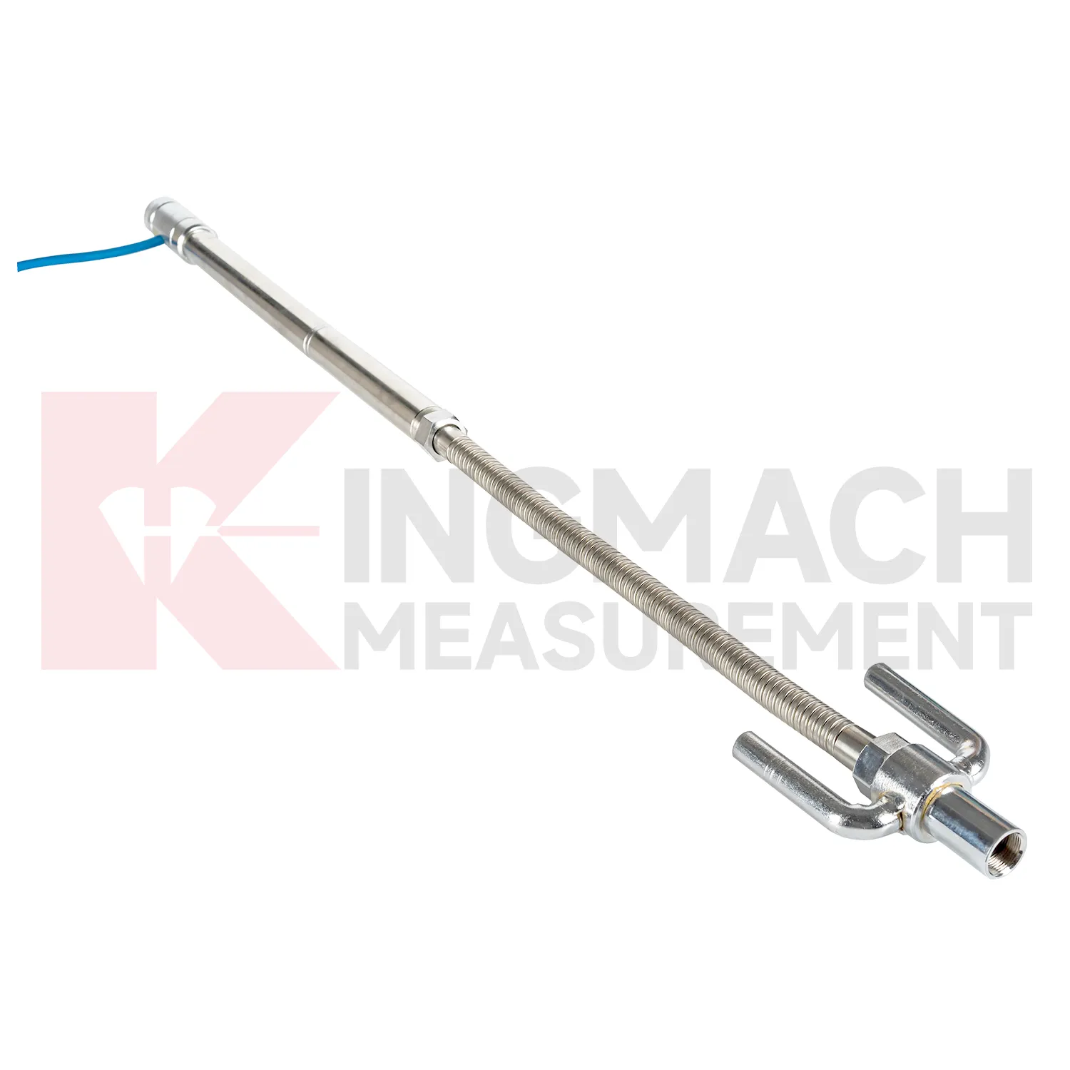
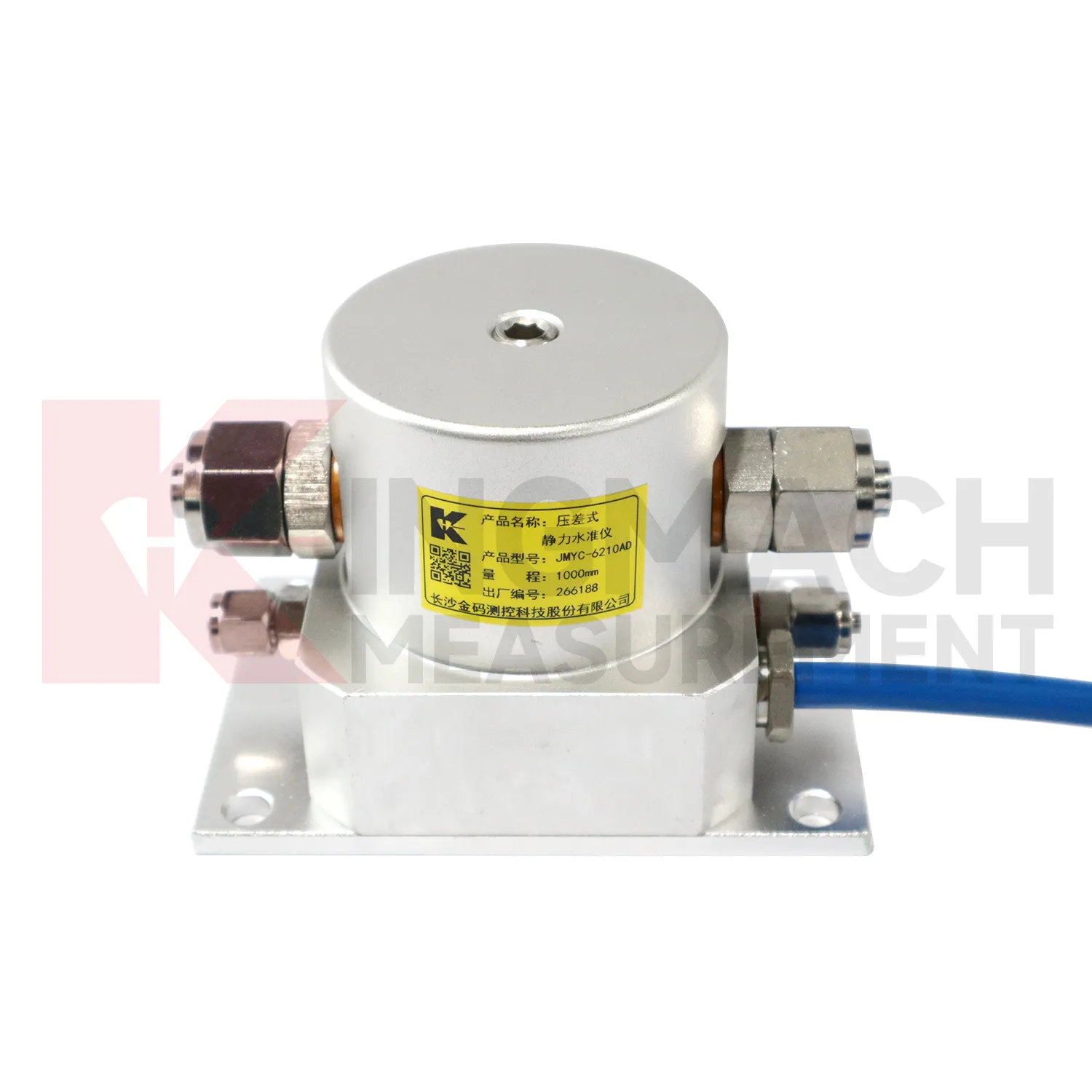
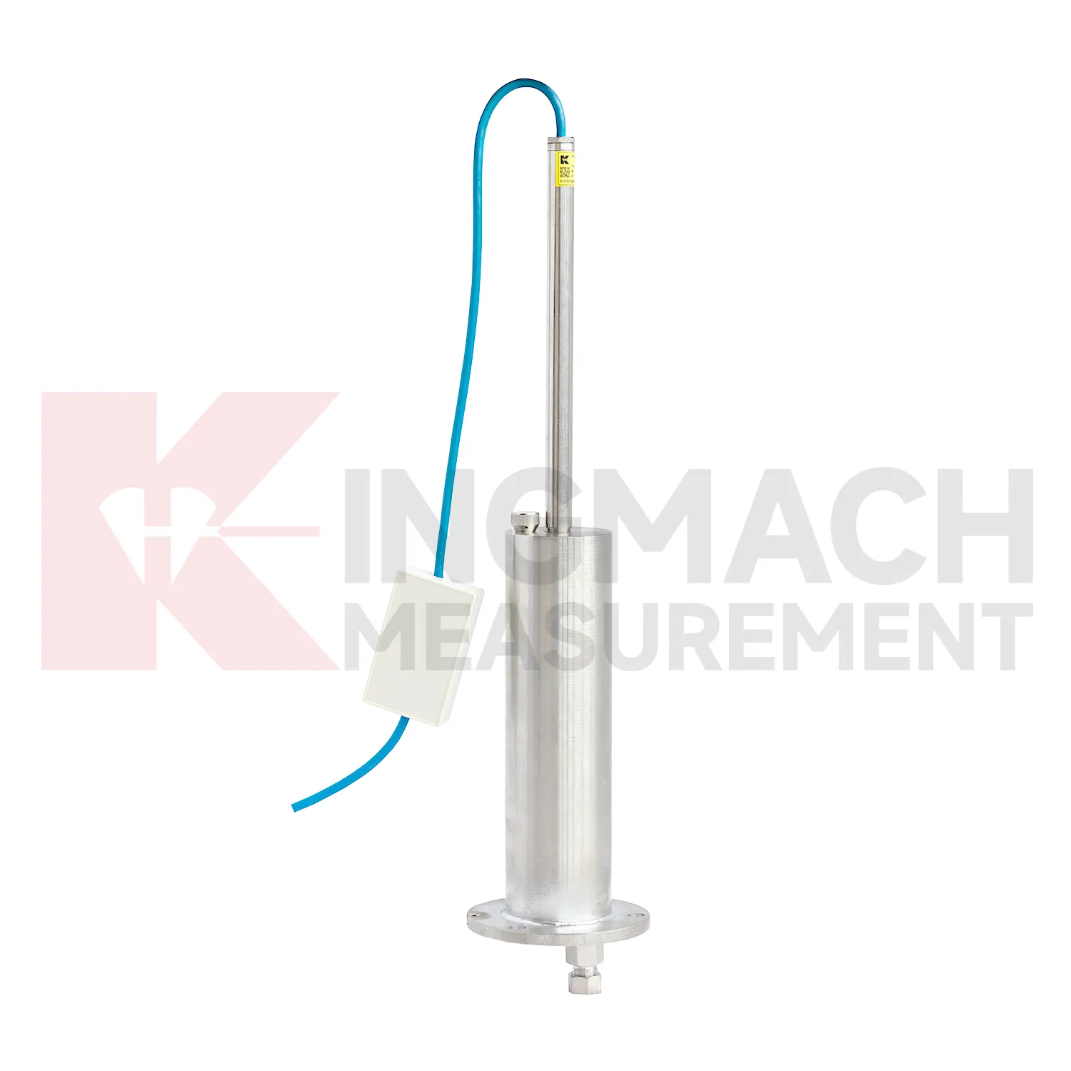
Kingmach hydrostatic level sensors cover several ways to measure vertical deformation on civil and geotechnical projects. The category includes the JMDL-47XXAT smart single-point settlement gauge, JMDL-62XXADT inductive frequency-modulated hydrostatic level sensor, JMQJ-62XXADT micro range hydrostatic level sensor, JMYC-62XXAD wide-range differential pressure hydrostatic level sensor, and JMCJ-1003/1005 magnetic ring settlement water level gauge. Each product answers a different field question. A buried single-point gauge follows one embedded location in a roadbed, foundation, dyke, or tunnel invert. A hydrostatic network compares several elevations through connected liquid lines. A wide-range differential pressure system handles larger movement during reclamation or soft foundation treatment. A magnetic ring gauge separates layered underground compression from groundwater level change. Selection should begin with expected travel, required resolution, manual or automatic reading mode, access after burial, reference stability, and the structure being observed. This product group gives engineers a practical set of instruments for turning slow ground movement into named measuring points, dated baselines, and repeatable readings.
Application of hydrostatic level sensors
Building projects use hydrostatic level sensors when a foundation, basement, column line, retaining wall, or adjacent ground area needs a dated vertical movement record. The work often starts before the permanent structure is complete: excavation, dewatering, pile work, concrete loading, and backfilling can all change elevation patterns. Kingmach JMDL-47XXAT is relevant to pile foundation settlement and base uplift in deep foundation pits, while JMDL-62XXADT or JMQJ-62XXADT hydrostatic sensors can compare several building points from one reference. A useful layout may follow a gridline instead of only the most visible cracks, because differential movement across a structural bay is often more important than one isolated value. The record should connect each channel to a floor level, nearby column or wall mark, construction date, water condition, and visual inspection note. If one side of a basement drifts while another remains steady, the trend can guide more focused review. For occupied buildings, stable wiring, protected cabinets, and clear point labels matter because readings may continue through many inspection cycles.
The future of hydrostatic level sensors
The future of hydrostatic level sensors will also depend on better installation kits. Many settlement errors begin with field details: a tube is kinked, a plate is disturbed during compaction, a ring depth is recorded poorly, a cable exits at the wrong place, or a reference point is not protected. Future products can reduce these problems with clearer connectors, pre-labeled cables, stronger side-exit protection, better probe markings, and commissioning checklists. Kingmach JMDL-47XXAT already uses side-exit cable routing to avoid pavement compaction interference, and hydrostatic systems rely on clean tube installation. Better installation accessories will make the first baseline more trustworthy. In settlement monitoring, a clean start is often more useful than a later attempt to correct a poor record. The practical goal is to keep settlement data understandable after the original installation crew has left, so owners can compare old and new readings without reconstructing the field history from memory. The same record should remain readable for designers, contractors, owners, and maintenance teams, because settlement monitoring often continues long after the first construction report is finished.
Care & Maintenance of hydrostatic level sensors
Remote acquisition for hydrostatic level sensors needs commissioning checks across the whole data chain. Verify RS485 wiring, bus address, power supply, channel name, units, reference point, and platform display before routine collection begins. For Kingmach hydrostatic sensors and automated settlement systems, move through each channel and confirm that the displayed point matches the physical location. Label cabinets, cables, tubes, and sensor numbers clearly. During operation, data gaps should be compared with power outages, communication faults, storms, cabinet work, or platform changes. If a sensor is replaced, record the old serial number, new serial number, old baseline, new baseline, and reason for replacement. Remote data is only trustworthy when the physical point and digital channel stay aligned. The record should include who inspected the point, what changed on site, and whether nearby instruments showed the same trend, so the maintenance team can separate sensor trouble from real settlement. The record should include who inspected the point, what changed on site, and whether nearby instruments showed the same trend, so the maintenance team can separate sensor trouble from real settlement.
Kingmach hydrostatic level sensors
Hydrostatic hydrostatic level sensors are useful when several vertical movement points must be compared against a reference rather than read as isolated values. Kingmach JMDL-62XXADT and JMQJ-62XXADT use connected liquid paths and digital output to monitor vertical deformation in structures such as bridges, dams, tunnels, large buildings, and subgrades. The JMDL-62XXADT lists 50 mm, 100 mm, and 200 mm ranges with 0.01 mm resolution and RS485 output. The JMQJ-62XXADT micro range hydrostatic level sensor lists 50 mm and 100 mm ranges, 0.01 mm resolution, RS485 signal, and IP68 protection. These products are most useful when the tube route, reference point, cabinet, and baseline are documented clearly. If the reference is unstable, every curve downstream becomes harder to trust. A good point record also names the reference location, installation elevation, data channel, and maintenance access so later readings can be checked without guesswork. A good point record also names the reference location, installation elevation, data channel, and maintenance access so later readings can be checked without guesswork.
FAQ
Q: How should hydrostatic level sensors be maintained?
A: Check reference points, tubes, cables, seals, settlement plates, anchors, probes, cabinets, and channel names at planned intervals.
Q: Should zero values be reset casually?
A: No. A reset can hide real settlement. If a reset is necessary, record the reason, time, old baseline, and new baseline.
Q: What data should be reviewed with settlement?
A: Rainfall, groundwater, excavation depth, filling stage, traffic loading, tilt, displacement, strain, and load data can all help explain settlement changes.
Q: What signs suggest a data issue?
A: Flat lines, sudden jumps after maintenance, impossible values, repeated communication gaps, or disagreement with nearby points may indicate instrument or data-chain problems.
Q: What makes a settlement report useful?
A: A useful report includes point location, model, range, baseline, reference point, latest reading, cumulative settlement, rate of change, and field notes.
Reviews
Robert Taylor
The weir flow meter is well-built and delivers accurate measurements. Great value for water management applications.
Andrew Lee
The visualization software is intuitive and powerful. It helps us analyze monitoring data efficiently.
Latest Inquiries
To protect the privacy of our buyers, only public service email domains like Gmail, Yahoo, and MSN will be displayed. Additionally, only a limited portion of the inquiry content will be shown.
Harper***@gmail.comIndia
Dear Sir, we are planning to procure a complete monitoring system including strain gauges, tiltmeter...
Emma***@gmail.comCanada
Dear Sir/Madam, we are interested in displacement transducers and settlement sensors for a geotechni...